

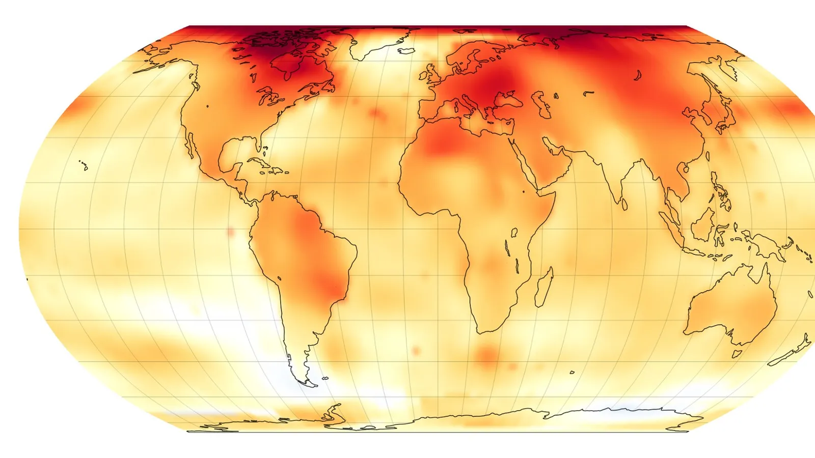
An intensifying El Nino set an all-time temperature high in a key part of the Pacific in September and could help make 2026 the hottest year ever recorded, the director of the European Union’s climate monitor said on Monday.
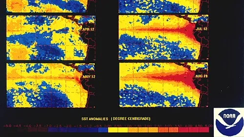
The Copernicus Climate Change Service said sea surface temperatures in the Nino3.4 region of the Pacific, a key El Nino monitoring zone, reached an “all-time high” of 29.70 degrees Celsius last month, Dawn reported, citing AFP.
That beat the peak temperatures of earlier strong El Nino events in 1982-83, 1997-98 and 2015-16, the monitor said. The record has fallen even before the event’s expected peak later this year.
Two record years in a row?
“If we follow the pattern we have seen in the past, we may have a record-breaking 2026, followed by a record-breaking 2027,” Copernicus director Carlo Buontempo told AFP.
El Nino usually pushes world temperatures higher in the year after its peak, as heat stored in the Pacific is released into the atmosphere. Experts have warned that this El Nino, combined with human-caused climate change, could make 2027 the hottest year on record, but Buontempo said even 2026 could break the record as the event builds.
The numbers
- Nino3.4 region: 29.70°C in September, an all-time high
- Global sea surface temperature: a record 21.05°C for September, beating 20.92°C in September 2023
- Air temperature: September was the world’s second-hottest on record, with surface air averaging 16.27°C
- August: set a new record
How strong is it?
This year’s El Nino, which emerged in June, is “very exceptional”, Buontempo said, but it is too early to say whether it is the strongest ever observed. Global forecasters have warned for months that it would probably become the strongest on record, and on Friday Japan’s weather agency said El Nino conditions had reached their “strongest intensity on record”.
Measuring that is not simple. As climate change warms the oceans, recent El Nino events can look stronger than past ones. Copernicus has adopted a new index that accounts for the warming of tropical oceans, and on that measure the current event is not yet stronger than past ones.
“It’s a very large event even in that metric,” Buontempo said. “This very large event today is happening in a much warmer climate.”
What El Nino does
El Nino is the warm phase of a natural climate cycle. It temporarily raises sea temperatures in the tropical Pacific and changes weather patterns in ways that can increase the risk of drought and flooding and make man-made global warming worse. It typically occurs every two to seven years and lasts around nine to 12 months.
El Nino is expected to strengthen into early 2027, raising the odds of drought in southern Africa and the Sahel and flooding in parts of East Africa and Central Asia, according to an analysis published by Geo News.
Why it matters
El Nino raises the risk of both drought and flooding, and a record-breaking 2026 followed by a record-breaking 2027 would mean two years of added heat stress. For Pakistan, which has lived through both disasters, the warning deserves attention well before next summer. Read our report on the UN forecast that El Nino could be the strongest since 1950.
This article draws on reporting by Dawn, AFP and Geo News.


Comments
Comments are reviewed by our editors before they appear. Please keep them civil and on topic. See our terms.
No comments yet. Be the first to share your view.